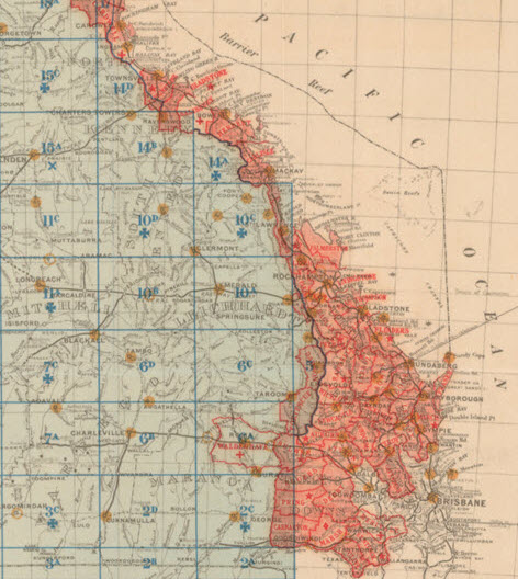
Old maps, new tricks!

Imagine being able to access an extensive digital archive of Queensland’s historical maps through modern spatial viewers like Queensland Globe.
The Department of Natural Resources, Mining and Energy (DNRME) has embraced open data and published over 10,000 historical maps (in csv files) dating back to 1841 to the Queensland open data portal.
We need your help!
DNRME is calling for your help with georeferencing historical Queensland maps originally published between 1841 and 2012. These maps are freely available to the public with licences allowing broad use. As you can guess, the task of georeferencing these maps to generate corresponding spatial data is enormous. That’s why they need your help.
DNRME has now commenced a georeferencing program, which aims to enlist the help of members of the public to unlock the potential of this existing open data. This crowdsourcing program will create and build on community networks to establish connections between past and present data.